Lincolnshire Wolds Landscape Network
The Lincolnshire Wolds Landscape Network is part of the UKRI programme, Landscape Decisions: Towards a new framework for using land assets. It is managed by Jonathan Last (Historic England, PI) and Steve Willis (University of Kent, Co-I).
The core purpose of the Network is to bring together different communities of interest in the Wolds and build connections between archaeological, ecological and well-being approaches. The overall aim is to deliver better and more integrated cultural and natural heritage management and associated public benefits in what is a significant but (in terms of the historic environment) a relatively neglected rural landscape.
Principal Investigator Jonathan Last introduces the project in this short video
The unique chalk landscape of the Lincolnshire Wolds, which forms one of Natural England’s National Character Areas (NCAs) and much of which is designated as an Area of Outstanding Natural Beauty (AONB), has a distinctive topography that is the legacy of episodes of glaciation. Although relatively secluded, the Wolds have a long history of human land use. Their historic value has long been recognised, with the rich archaeological resource of the area defined in the AONB’s Management Plan as one of its outstanding qualities.
Highlights include Neolithic and Bronze Age barrows, cropmarks of Romano-British settlements and earthwork remains of deserted medieval villages (DMVs), as well as historic farmsteads and other standing buildings. However, this resource remains poorly understood. Compared to other chalk landscapes there has been little research funding for investigative work, which has been sporadic and focused on specific locations or types of monument. While enough has been done to recognise the huge potential of the Wolds’ heritage, the expansion of knowledge has not matched that seen for other areas, and we do not yet have a coherent picture of human settlement and land-use over the long term. There is great willingness among local stakeholders to do more work.
The network aims to bring together existing knowledge of the historic environment, identify gaps and develop a strategy to address them. Most significantly, it will go on to explore how better understanding of past land-use and environments can inform decision-making about the present landscape. How can we improve consideration of cultural heritage in conservation initiatives? And enhance the well-being of local communities and visitors to the Wolds through ensuring better access to the kinds of heritage which have value to different groups? The key outcomes of the network will be practical strategies for addressing such questions, which will frame the co-creation of an innovative and focused Wolds landscape project. and inform the development of policy that is applicable to other rural areas across England and beyond.
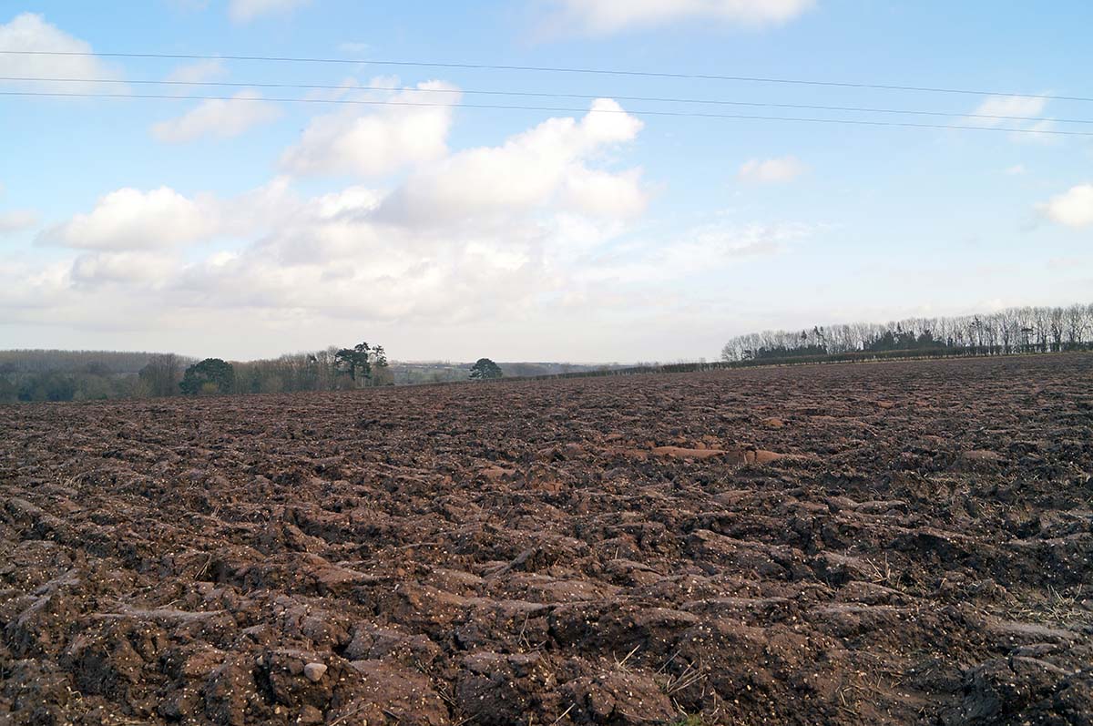
‘Soilscape’ near Hatcliffe
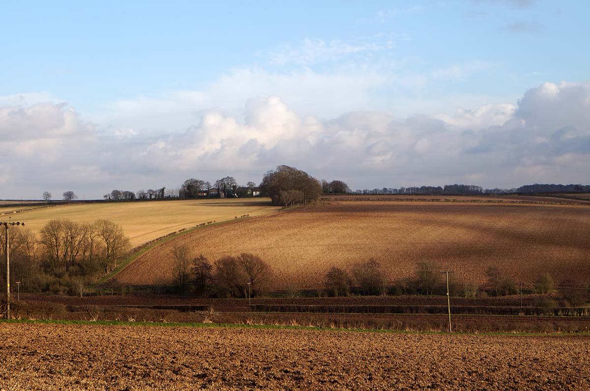
The Wolds landscape, looking east from Brookenby
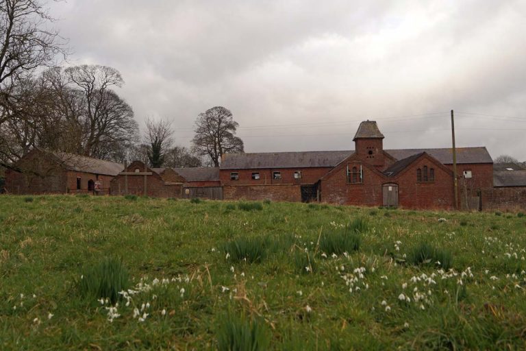
19th century model farmstead at Kirmond le Mire
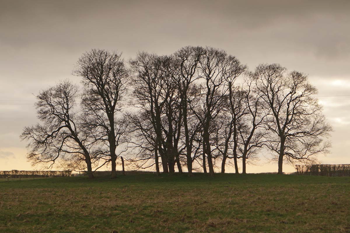
Trees on the mound of a possible long barrow near Normanby le Wold